Planning kicks off for Blue Line station areas
Have opinions about how development should look along the hoped-for next leg of Charlotte’s light rail line? Thursday is the first of three public workshops scheduled to help planners as they draw up area plans for six* of the 11 station areas.
All three meetings will be 6-8 p.m. at Sugar Creek Presbyterian Church, 101 Sugar Creek Rd. Each will have a different focus:
- Oct. 4 – Kickoff, station area concepts.
- Oct. 18 – A hands-on workshop, focusing on building form.
- Nov. 1 – A hands-on workshop, focusing on mobility.
Kathy Cornett of the Charlotte Planning Department briefed the Charlotte-Mecklenburg Planning Commission on Monday about the workshops. She said the public meetings will cover the six stations closest to uptown Charlotte. The other station areas are part of the 2007 University City Area Plan.*
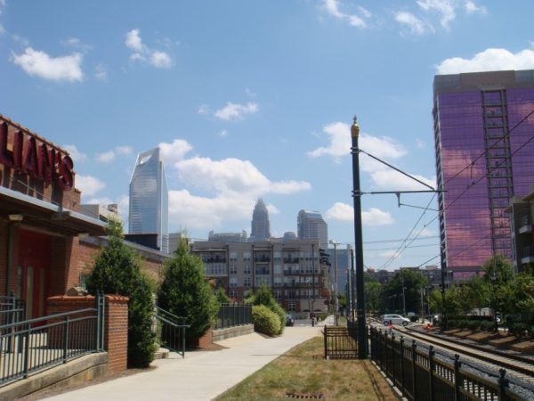
The Blue Line Extension will follow the railroad right of way that continues north from the current line on which the Lynx Blue Line operations, until Old Concord Road, where it will move to the North Tryon Street right of way. Click here for a map of the plan. The 11 proposed stations will be:
- Ninth Street
- Parkwood Avenue
- 25th Street
- 36th Street
- Sugar Creek Road (with park and ride lot)
- Old Concord Road (with park and ride lot)
- Tom Hunter Road
- University City Boulevard (with park and ride lot)
- McCullough Drive
- J.W. Clay Boulevard (with park and ride lot)
- UNC Charlotte campus behind the Student Union.
The workshops will cover the Parkwood station up to the Tom Hunter Road station.
Click here to see the workshop agendas and to preregister online.
* An earlier version of this article mistakenly said the workshops would cover all 11 stations. (Correction: 3:10 p.m. Oct. 3.)